Hurricane Erin’s Path Puts East Coast on High Alert
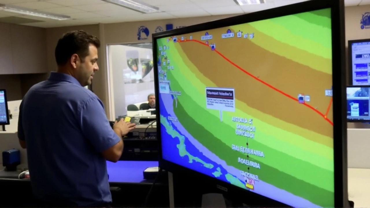
Hurricane Erin isn’t messing around. This is the first Atlantic hurricane of 2025, and it’s coming in strong as a Category 4 with winds whipping at 130 mph. Right now, Erin is swirling about 695 miles southwest of Bermuda and roughly 800 miles off Cape Hatteras, North Carolina. If you look at the latest hurricane path models, the storm will start steering more to the north-northwest on Tuesday, then speed up northward by Wednesday, and eventually sweep northeast by Thursday.
What’s wild about Erin is how much it’s changed in just a few days. On Saturday, it exploded up to a Category 5 with winds roaring at 160 mph, then dipped down to a Category 3 early Sunday, and bounced right back up to Category 4 by Sunday night. This roller-coaster isn’t unusual for hurricanes that go through something called an eyewall replacement cycle. During this process, the inner eye collapses and a new one forms, which temporarily weakens the storm before it amps back up.
Dangerous Winds and Widespread Impact
Even though Erin probably won’t plow right into the U.S. coast, the danger is still real and growing. The hurricane has stretched out from its early compact size into a beast of a storm. Hurricane-force winds extend up to 80 miles from Erin’s center, and tropical storm-force winds now reach as far as 205 miles. That’s a massive spread. Meteorologists expect Erin to keep growing in size as it flies north through the western Atlantic.
Along the U.S. East Coast, especially near the Outer Banks in North Carolina, folks are being told to stay sharp. Warnings are up for life-threatening surf and hazardous rip currents all week. Some areas in the Outer Banks already got evacuation orders because of flooding risks. Millions along the coast—from the Carolinas up towards the Northeast—are being told to prep for possible impacts even though Erin’s eye may never come close.
Earlier, Erin already showed what it can do in the Caribbean. The U.S. Virgin Islands saw flash flooding, with radar showing 3 to 6 inches of rain dumped on St. John and St. Thomas. Some northern bits of Puerto Rico picked up 2 to 4 inches, and flood watches stayed active into Monday with some spots potentially getting up to 8 inches before the rain eased.
Meteorologists say Erin will likely keep its power for several more days. With a huge wind field and growing size, the threat isn’t just about a direct hit. Even if Erin swings wide, the coastal impacts—like massive waves, flooding, and strong currents—will be felt all along the eastern seaboard.