
Catastrophic Hurricane Erin Roars Across the Atlantic
Hurricane Erin isn’t messing around. This storm kicked off the 2025 Atlantic hurricane season with a bang, quickly becoming a major threat as it powered up to Category 5. Born out of a tropical wave on August 11 near Cape Verde, Erin went from an ordinary weather system to a deadly hurricane in just days. It's already claimed lives, battered islands, and now has millions along the US East Coast on edge.
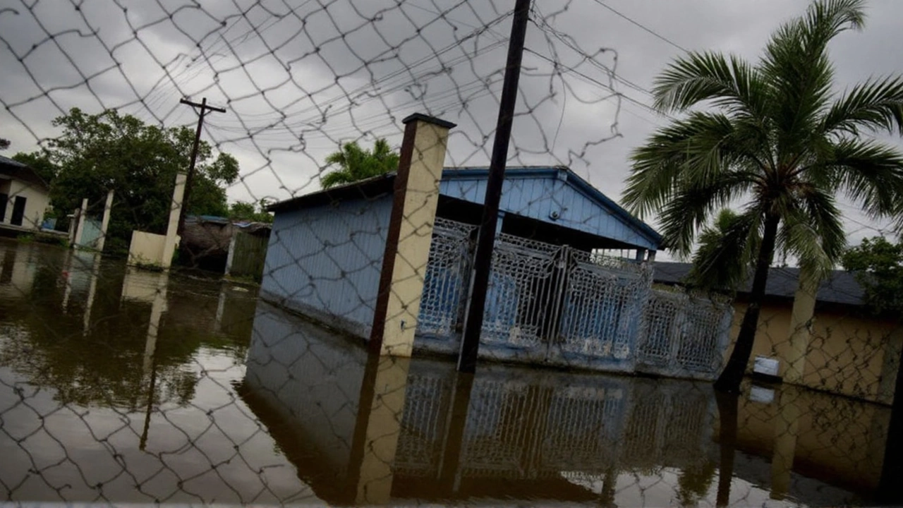
What made Erin so dangerous, so fast? Meteorologists have been watching the Atlantic for signs of early trouble—and they didn’t have to wait long. Erin slammed Cape Verde with a staggering seven inches of rain in only a few hours, flooding streets and tragically killing nine people on São Vicente island. Officials didn’t hesitate to declare a disaster for the hardest-hit Cape Verde islands, bracing for the long cleanup.
From there, Erin just kept intensifying. Fueled by ocean temperatures that experts say are off the charts—made up to 100 times more likely by climate change—the storm rapidly ramped up to Category 5. At its peak on August 16, it packed winds of 160 mph and a central pressure of 915 mb. That’s not just powerful—it’s record-threatening, and a warning sign for what the future might hold.
East Coast Watches as Erin Nears, No Landfall Expected Yet
Hurricanes don’t power up forever, though. As Erin churned north, it lost some of its punch—the usual cycle of eyewall replacement and wind shear saw it drop back to Category 3 by August 19. Even so, 130 mph winds mean this is no weak storm. As of Monday evening, Erin was spinning about 695 miles southwest of Bermuda and roughly 800 miles from Cape Hatteras, North Carolina.
Even before threatening the US, Erin dumped heavy rain on Puerto Rico and the US Virgin Islands, cranking out flash floods across St. John, St. Thomas, and northern Puerto Rico. Turks and Caicos, plus the Bahamas, also took a hit with pounding rain, strong gusts, and rough surf. Tropical storm warnings and flood alerts had everyone on edge.
What about the mainland US? Forecast models predict Erin will turn north, threading the needle between Bermuda and the East Coast through mid-week. Still, meteorologists and emergency officials aren’t taking chances. The storm’s not expected to make direct landfall, but life-threatening surf and rip currents are already making waves (literally) from Florida to Maine. North Carolina’s Outer Banks are on high alert, with mandatory evacuations underway in low-lying, flood-prone spots. It doesn’t take a direct hit to cause chaos from a storm of this size.
What’s really catching everyone’s attention is just how quickly Erin became so intense. Scientists trace it back to ocean water that’s warmer than usual—something climate change is making more common every season. Warmer water gives hurricanes the fuel to grow strong, fast, and stay powerful longer. If Erin is an early sign of the 2025 hurricane season, coastal communities are bracing for a rough ride.